")
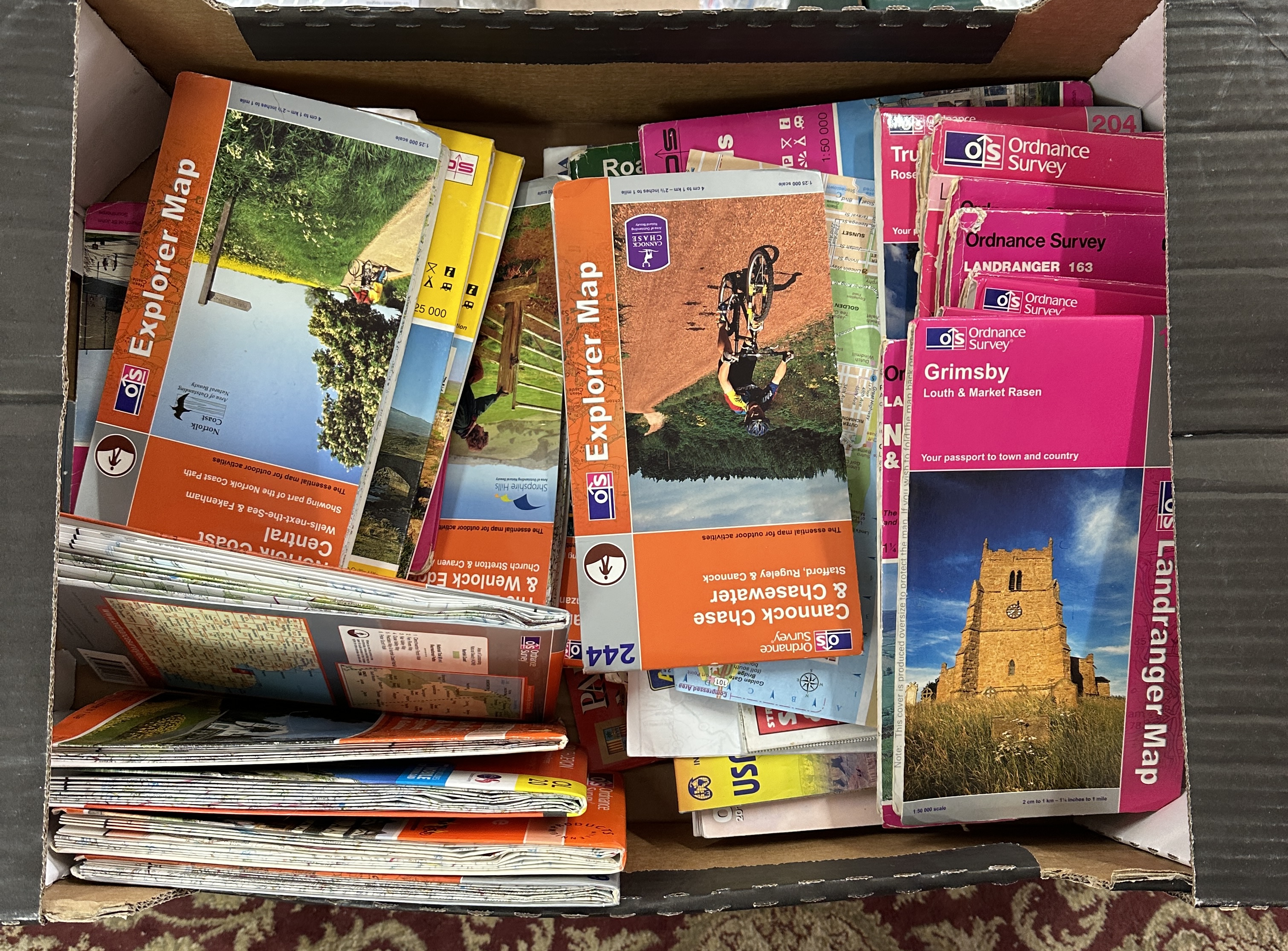
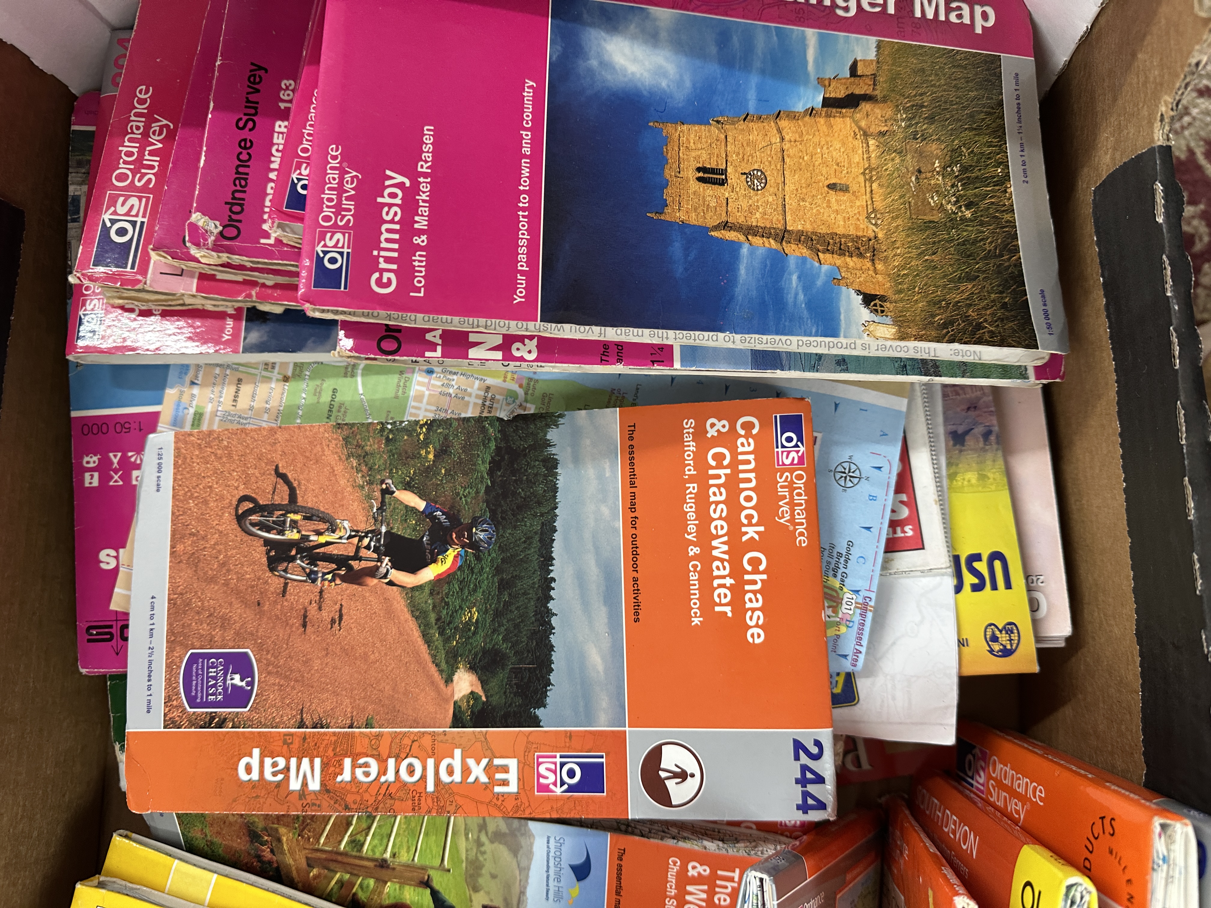
A collection of Ordnance Survey maps, primarily comprising examples from the Explorer and Landranger series. The lot consists of numerous folded paper maps within printed card covers. The Explorer series maps are identified by orange covers and a 1:25,000 scale, while the Landranger series maps feature magenta covers and a 1:50,000 scale. Visible titles in the collection include Explorer Map 244 (Cannock Chase & Chasewater), Landranger Map 113 (Grimsby, Louth & Market Rasen), Explorer Map for Norfolk Coast Central (Wells-next-the-Sea & Fakenham), Explorer Map for Shropshire Hills (Church Stretton & Craven Arms), and Landranger Map 163 (Bury St Edmunds & Sudbury). The archive covers various geographical regions across the United Kingdom.
Condition report:
The maps are in mixed, used condition. The card covers show signs of shelf wear, including creasing, rubbing, and minor fraying at the spine edges. Most maps appear to be well-preserved and suitable for practical use.
Share this lot:
